An ultra-prominent peak, or Ultra in short, is a mountain with a topographic prominence of 1,500 meters or more. In order to climb a higher peak, you first have to descend at least 1500 meter. Prominence – at least for the mountaineer – is a measurement for the subjective significance of a summit regardless of its actual height.
There are 119 Ultras in Europe. If you think of Switzerland as the motherland of European mountains, think again. Switzerland has only eight Ultras. Many of the highest peaks of the European Alps are connected by high passes, and they do not “stand out” as an Ultra would do.
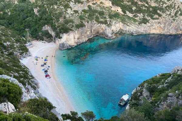
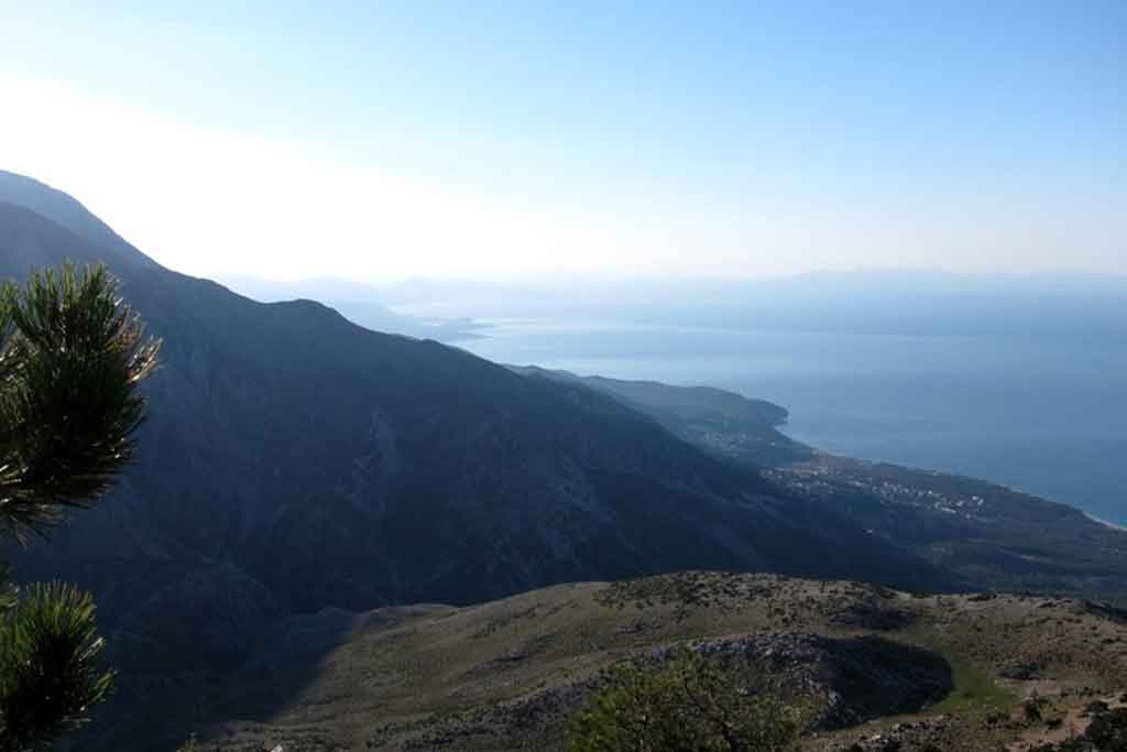
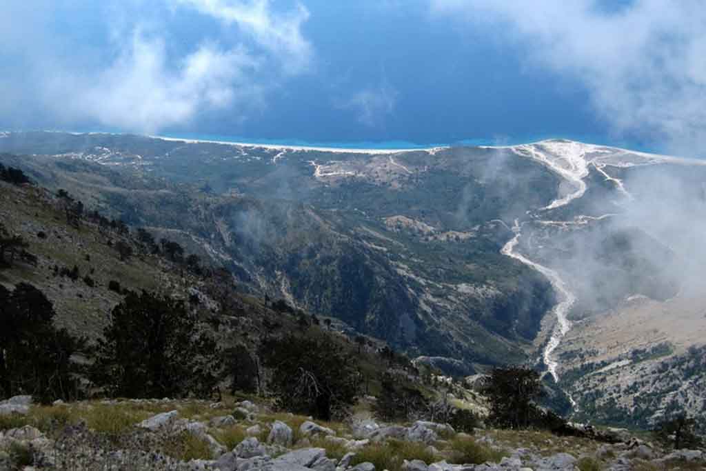
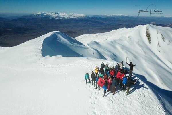
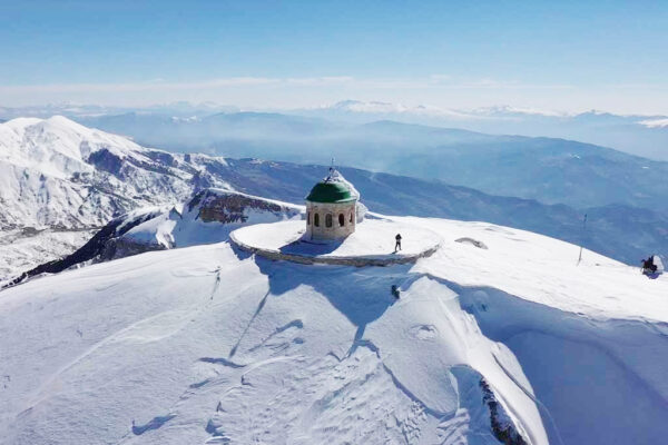
Albania has six Ultras and Mali i Çikës is one of them. It has an official height of 2044 Meter, and a prominence 1563 Meter. But this aside, when you stand on its top, you have an unobstructed view 2044 Meter right down to the sparkling blue Ionian Sea.
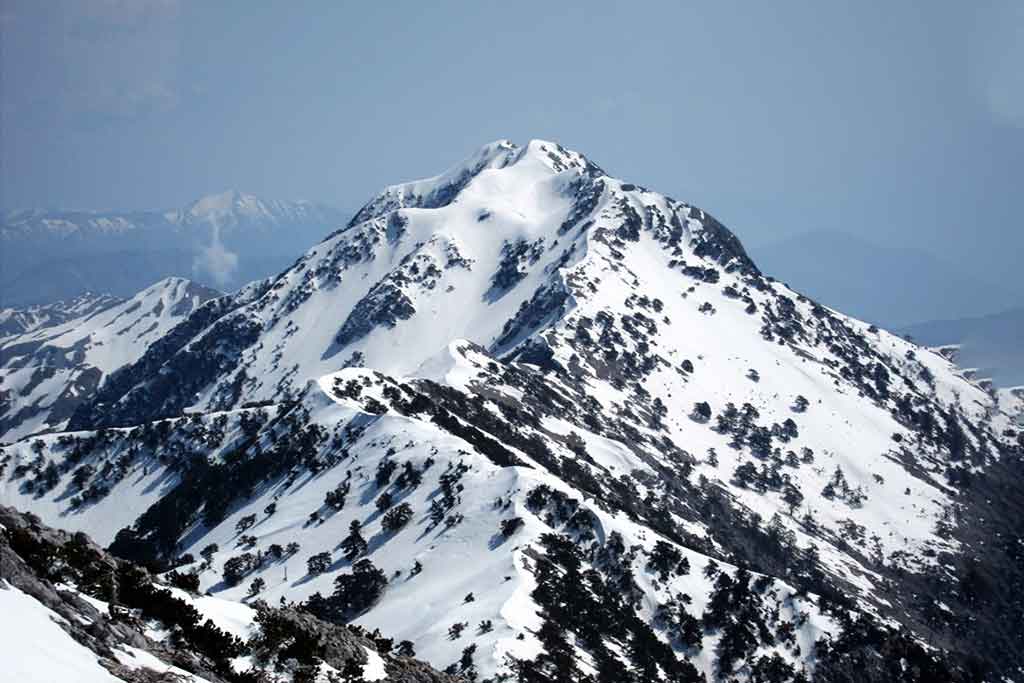
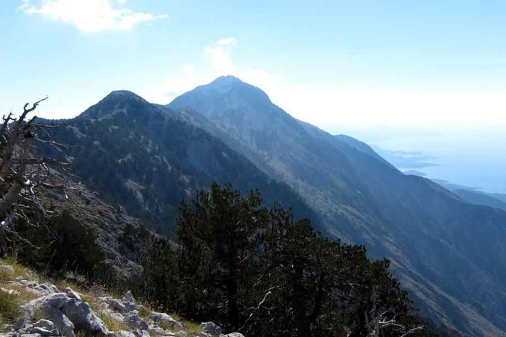
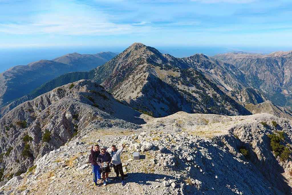
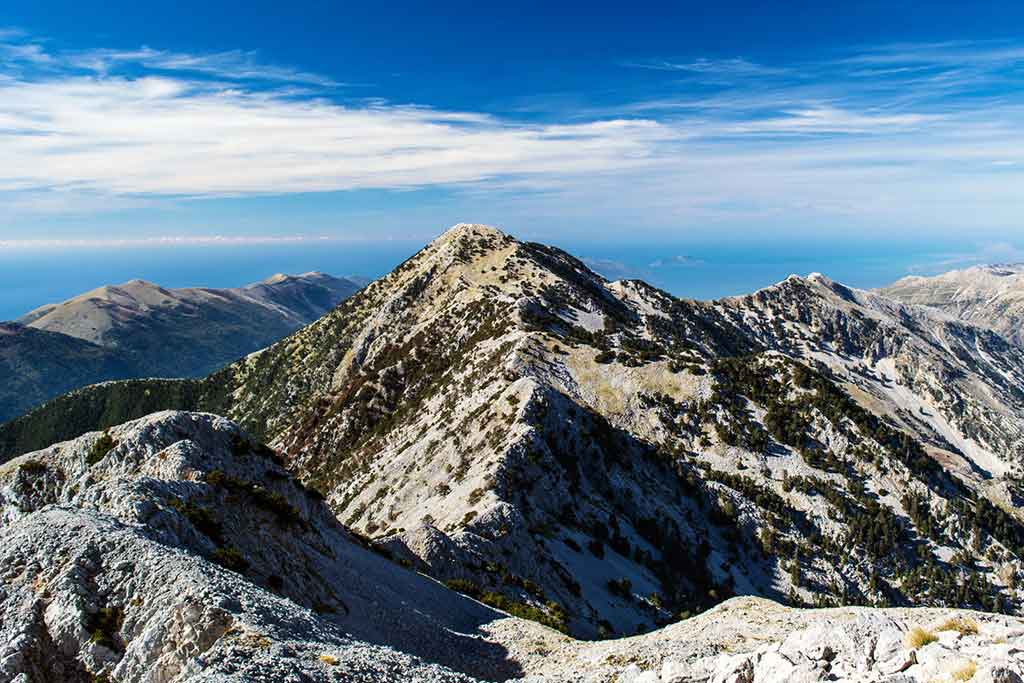
Mali i Çikës is an ultra-desirable mountain for many reasons. It has a very alpine feel to it, with sheer drops, cliffs, distant views and a 3.5 kilometer long exhilarating summit ridge. There is no shortcut. And unless you decide to transverse Mali i Çikës (which would be at least two day hike without any water source along the way – see Endrit’s trail on wikiloc #3308119), you have to go back the way you came. This makes for 14.5 kilometers out and back, a cumulative climb of more than 1400 Meter, and a very long day.
Being out on a limb on the long summit ridge, with few opportunities for a retreat means that you don’t want to be caught by thunder and lightning. Unfortunately, at the edge of the Mediterranean, weather conditions around the mountain can change rapidly, and one is advised to clear the summit by noon time. It took us 5.5 hours to reach the summit, and we were glad to have started from the Llogara pass at 7 am. In summer, you may consider starting even earlier.
The route itself is not difficult to follow, and there is a faint mule-trail to and across the summit of Cika. Still, there is an advantage in carrying a GPS to see where you veer off the trail and to not waste too much time looking for the right way. The trail leads sometimes to the east and sometimes to the west of the actual ridge, avoiding some of the higher bumps along the way.
By the time you reach waypoint 5, you can relax – that is until you glimpse the narrow ridge that separates the false summit from the real one by 50 Meters or so.
Post & Pictures by http://www.palmtreeproduction.com/